Colorado Web Cams
San de Cristo Mountains, Colorado
(Note: This page may need reloading on some browsers for new views)
The Sangre de Cristo Mountains are the southernmost subrange of the Rocky Mountains. They are located in southern Colorado and northern New Mexico. The mountains run from Poncha Pass in South-Central Colorado, trending southeast and south, ending at Glorieta Pass, southeast of Santa Fe, New Mexico. They contain a number of fourteen thousand foot peaks in the Colorado portion. The Sangre de Cristo Mountains are one of the longest fault-block mountain ranges in the world.

Northern Sangre de Cristo Mountains
Viewed from Poncha Pass, looking towards the peaks around the Crestone
area
(Cam from C-DOT)
Northern Sangres/Crestone Peaks, Crestone CO - Click
here for streaming view
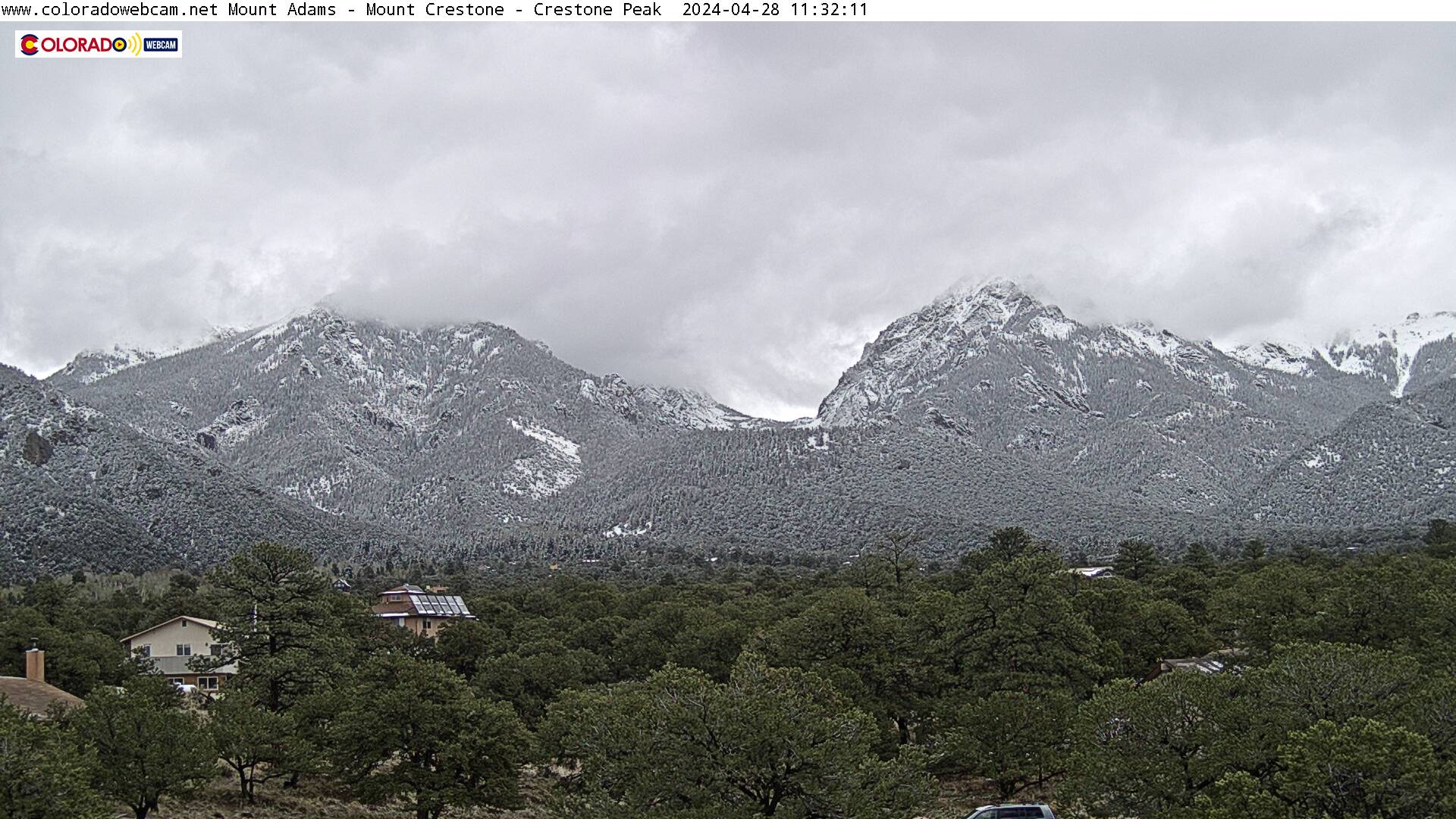
West side of Sagres, looking east from
Crestone,
CO. 13,941' Mount Adams (left), 14,171' Mount
Crestone (right)
Northern Sangres/Crestone Peaks, Crestone CO - Click
here for streaming view
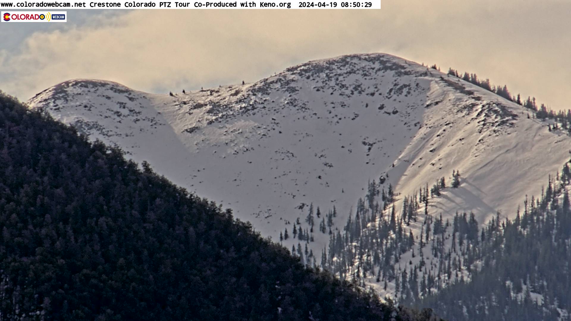
West side of Sagres, looking east from
Crestone,
CO. 14,171' Mount
Crestone (left) and 14,300' Crestone Peak (far right)
View of the Spanish Peaks (looking north)
(Cam from Coloradowebcam.net)
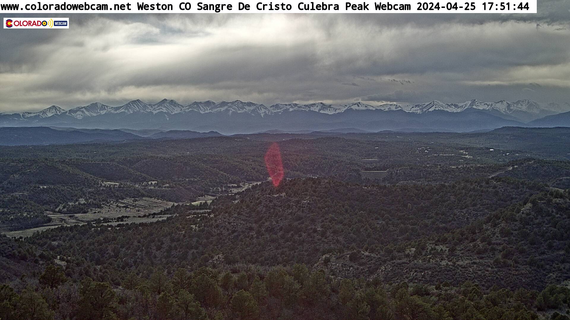
Sangre de Cristo Mountains
East side of the Sangres, by Culebra Range
and looking west from Weston, CO

Hwy 160, looking west towards La Veta Pass, West of Walsenburg, Colorado
(from CDOT)
-Sangre de Cristo Mountains Map-
(Showing near the Colorado/New Mexico border. Just hit the minus ["-"] key for a larger view of the area and then use your mouse to move around the map by holding down either mouse button)
| Colorado Web Cams | Westcliffe | Crestone Weather Center |