Colorado Web Cams
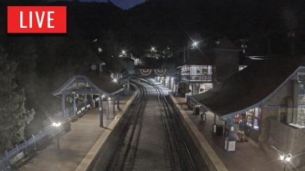
Manitou Springs, Colorado
Cascade, Colorado
(Note: This page may need reloading on some browsers for new views)
The Town of Manitou Springs is located in the foothills of Pikes Peak, on
the Colorado Front Range, at the very bottom of Ute Pass, in El Paso County,
sitting at a elevation of 6,412 feet. The town's population was 4,858 at the 2020 U. S. Census.
This historic town is known for its eight main mineral springs that are accessible and popular for visitors to taste their unique, naturally carbonated waters, including the Shoshone Spring, Cheyenne Spring, Iron Spring Geyser, and Wheeler Spring, each with different mineral compositions and flavors. These cold springs are a historic landmark, attracting people for their purported healing properties since the 1870s.
The springs are considered sacred to Native Americans. Something locals like
to note (I lived here a long time ago, for about 20 years, so I know this),
is that Colorado Springs, to the east, got it's name from Manitou's springs,
yet Colorado Springs has no real springs at all!* They took their name from
the springs in Manitou. *Other than one small spring that is now long gone, buried by a flood
in 1935; guess back before then, they could have called it "Colorado
Spring".
There are many other attractions in Manitou Springs besides it's mineral springs. Manitou Avenue, it's main road downtown, is home to art galleries, different restaurants, and specialty boutiques. Then a few more attractions include the challenging Manitou Springs Incline, the ancient Manitou Cliff Dwellings, the very cool cave tours at Cave of the Winds, the scenic Barr Trail that you can hike up to Pikes Peak on, and the Manitou and Pikes Peak Railroad, where you can take the train up to Pikes Peak's summit. I'm not listing everything that's there, but if like to hike - but not up a fourteener, then check out Red Mountain (Elevation: 7,375 feet / 2,248 meters) instead, a great hiking spot with 360-degree panoramic views at it's summit of Pikes Peak, the Manitou Incline, and Garden of the Gods! It's trail is off the of the Intiman Trail (a cool trail in it's own right). The Red Mountain trail itself is about 3 miles round trip, and it's steep and rocky, but only a 900+ foot elevation gain (not bad for a Colorado hike). I used to hike this wonderful trail once a month, back when I was still a young man. Back then, you had to make your own way up, as there was no real trail to follow. But I understand today there's a real trail to hike on that's off of the Intiman Trail.
Manitou Springs has a continental climate. Summertime is warm, sometimes hot (but the humidity is always very low), and wintertime is cool, sometimes cold. Spring and fall are generally very pleasant. The hottest temperature ever there was 99°F/ 37°C, on July 31, 2002. The record low temp was -27°F/-33°C on February 1, 1951. The town see 54 inches/137.2 centimeters of snow each snow season.
Click on image below for a larger view
 Hwy 24 above Canon Ave (From CDOT) |
 Hwy 24 - near Cave of the Winds (from CDot) |
Pikes Peak Depot on Canon Ave
(From
Windy.com)
Next: North of Manitou Sps
Cascade, Co
Cascade is located just above Manitou Springs on Ute Pass and is where the Pikes Peak Highway entrance is located, just off of US Highway 24. It's a 19-mile (31 km) toll road that goes to the summit of Pikes Peak. A very cool ride to take/drive, indeed.
Cascade
elevation is 7,379 feet / 2,2149
meters. The town was established in 1886, and was named for the many waterfalls in the area. The Ute Pass Regional Trail
runs through Cascade, as its a continuous,
and cool trail that starts in Manitou Springs, and heads west through Ute Pass,
up to Woodland Park. Heizer trail is another trail to check out. It leads to local waterfalls in the Cascade Community Park.
One last
attraction in Cascade is the North Pole Amusement Park.
Your preteen children will love this place, but your wallet may not!

Hwy 24, Cascade, Co
EB 0.8 miles east of Chipita Park Rd
- Manitou Sps, Co Map -
To see Cascade on this map, click on the minus sign (-) 2 times (found in the camera's control box on bottom right), and look northwest on map
| Colorado Web Cams | Pikes Peak | Green Mountain Falls | Crestone Weather Center |